Automotive
Top Cars for Effortless Long-Distance Travel: Comfort, Reliability, and Real-World Guidance

LiDAR (Light Detection and Ranging) sensors are revolutionizing how autonomous drones perceive and interact with their environments. With recent breakthroughs in sensor design, signal processing, and on-board analytics, next-generation LiDAR technology offers significant improvements in accuracy, reliability, and operational flexibility. These advances are fueling new capabilities for drones across industries-from precision agriculture and infrastructure inspection to public safety and urban mobility. This article explores the latest LiDAR sensor innovations, their transformative benefits, challenges to implementation, and actionable steps for acquiring and deploying these technologies.
Recent progress in LiDAR for autonomous drones centers around improvements in resolution, range, and reliability. New sensors such as InnovizTwo and SiLC Vision integrate high-performance hardware with software for precise 3D mapping, velocity detection, and robust obstacle avoidance even in challenging conditions. Notably, Frequency Modulated Continuous Wave (FMCW) LiDAR technology-like that used by Aeva and SiLC -enables drones to measure both the position and instantaneous velocity of objects, providing unprecedented situational awareness [3] [5] .
Key performance metrics for state-of-the-art sensors include:
Next-gen LiDAR sensors open new possibilities for autonomous drones in several fields:
1. Infrastructure Inspection and Mapping: High-resolution 3D mapping enables safe, efficient inspection of bridges, buildings, and power lines, reducing the need for human workers in hazardous environments. Drones equipped with these sensors can generate precise models for maintenance, planning, and asset management.
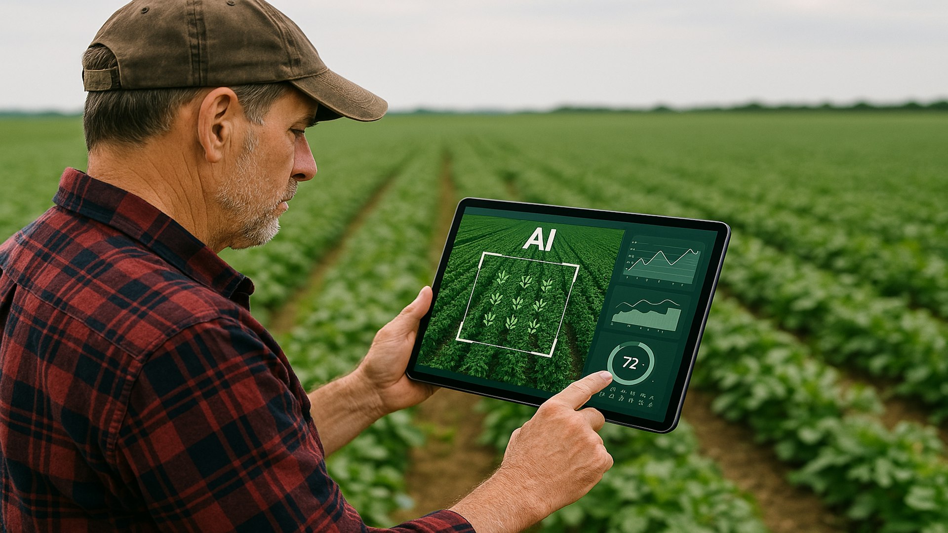
2. Agriculture: Drones leverage LiDAR’s precision to create detailed topographic maps, assess crop health, and optimize irrigation. The ability to detect subtle terrain changes allows for more effective land management and yield prediction [2] .
3. Public Safety and Search & Rescue: Enhanced obstacle avoidance and low-light performance allow drones to operate in challenging conditions, such as night-time or smoke-filled environments, improving situational awareness for first responders.
4. Urban Mobility and Autonomous Delivery: Fleet operators are using compact, high-performance LiDAR to power autonomous shuttle systems and delivery drones, ensuring reliable navigation in dynamic city environments [3] .
5. Security and Surveillance: Advanced LiDAR sensors help monitor perimeters, track unauthorized drones, and support crowd management with accurate long-range detection [5] .
If you are seeking to integrate next-generation LiDAR sensors into your drone operations, follow this step-by-step guidance:
If you are unable to find a suitable vendor, consider searching for terms such as “drone LiDAR integration services” or “FMCW LiDAR for UAVs” using reputable search engines. Reach out to local technology distributors or academic research labs specializing in robotics and autonomous systems for additional support.

The adoption of next-generation LiDAR results in measurable improvements for drone operators and end-users:
In real-world deployments, shuttle fleets equipped with Aeva’s 4D LiDAR demonstrated improved detection of moving and static obstacles in busy city streets, leading to safer autonomous transit services [3] . In agriculture, drones with high-resolution LiDAR sensors have allowed producers to map fields with centimeter-level precision, optimizing resource allocation and yield.
While next-generation LiDAR offers significant promise, challenges remain:
Cost: Advanced sensors can be expensive, especially for large-scale deployments. Some organizations opt for hybrid systems that combine lower-cost laser rangefinders with LiDAR for targeted applications.
Integration Complexity: Compatibility with existing drone hardware and software platforms may require engineering expertise. To address this, many manufacturers provide SDKs and integration guides. Partnering with a systems integrator or consulting with university robotics labs can help overcome technical barriers.
Regulatory Hurdles: Airspace regulations and privacy concerns may limit certain applications. It is essential to review all relevant local, state, and federal requirements before deploying drones equipped with advanced sensors.
For organizations unable to invest in next-gen LiDAR, consider alternative technologies such as stereo cameras or radar for specific tasks. However, these may not match LiDAR’s precision and reliability in all scenarios.
Next-generation LiDAR sensors are at the forefront of enabling safer, more capable, and more efficient autonomous drones. Whether you are an enterprise operator, researcher, or technology integrator, understanding the capabilities, applications, and acquisition strategies for these sensors is essential for staying competitive in the evolving drone landscape. Begin by thoroughly assessing your operational needs, consulting with established vendors, and leveraging industry resources for ongoing support.
For further guidance, explore the official product pages of manufacturers like Innoviz, Aeva, and SiLC, or consult with industry associations such as AUVSI. If direct purchase is not feasible, pilot programs, academic partnerships, and technology incubators are valuable alternative pathways.
MORE FROM feelmydeal.com